This piece is part of MTFP’s 2026 poll week, where we’re exploring data on how Montana voters feel about their elected officials, environmental concerns, immigration enforcement and other issues.
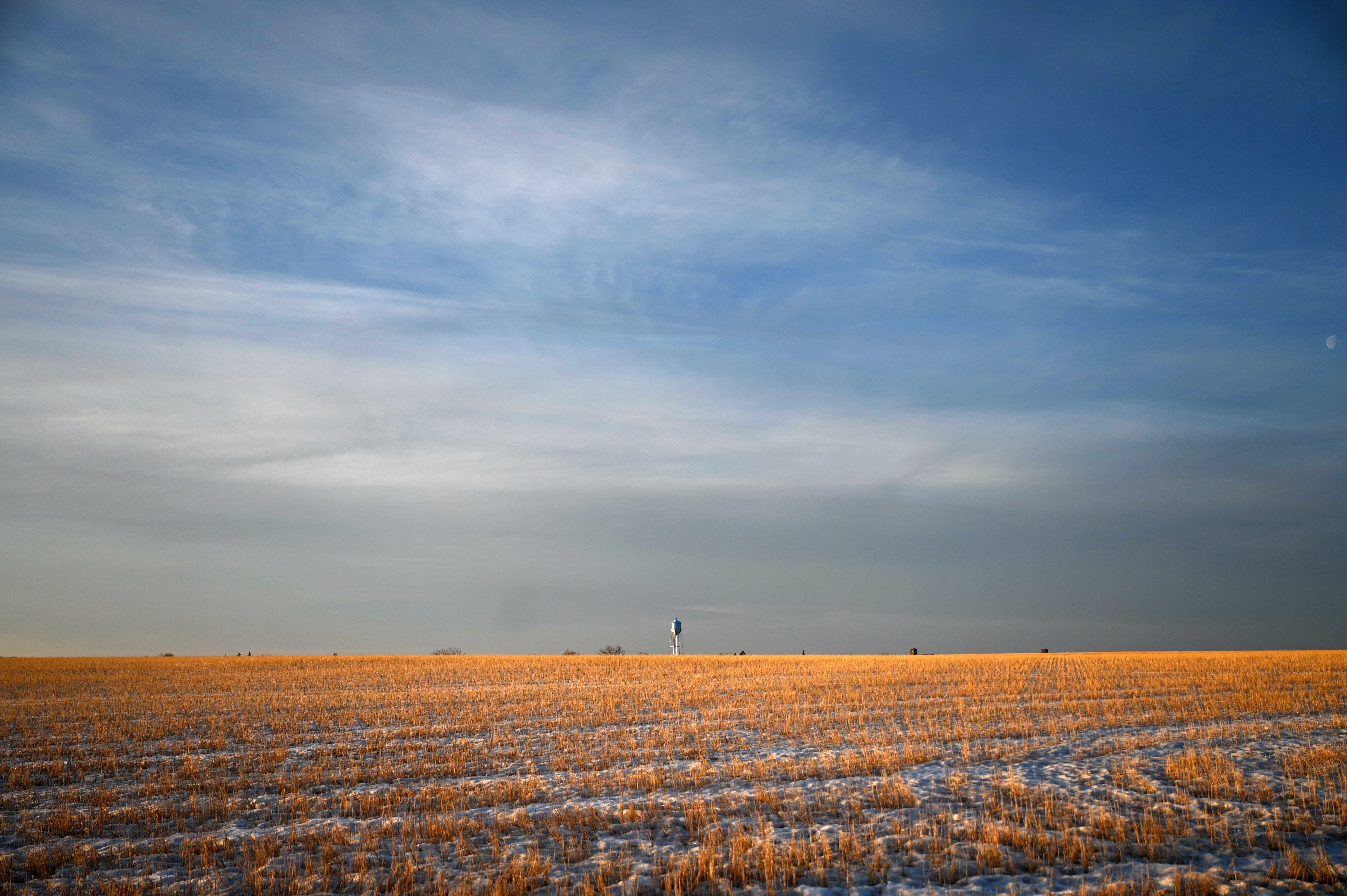
Montana is, in many ways, a land of two halves: a western Montana of snow-capped mountains and national forests and an eastern Montana of wide-open plains and flatland agriculture.
It’s a time-honored divide: peaks versus plains, Missoula versus Miles City, Flathead versus Fort Peck lakes. But where exactly would Montanans place the dividing line?
As it turns out, there’s no clear point of consensus — at least according to an MTFP-Eagleton poll conducted this winter, which asked Montana voters about that crucial geography question alongside weighty issues like the president’s immigration policy and support for a statewide sales tax.
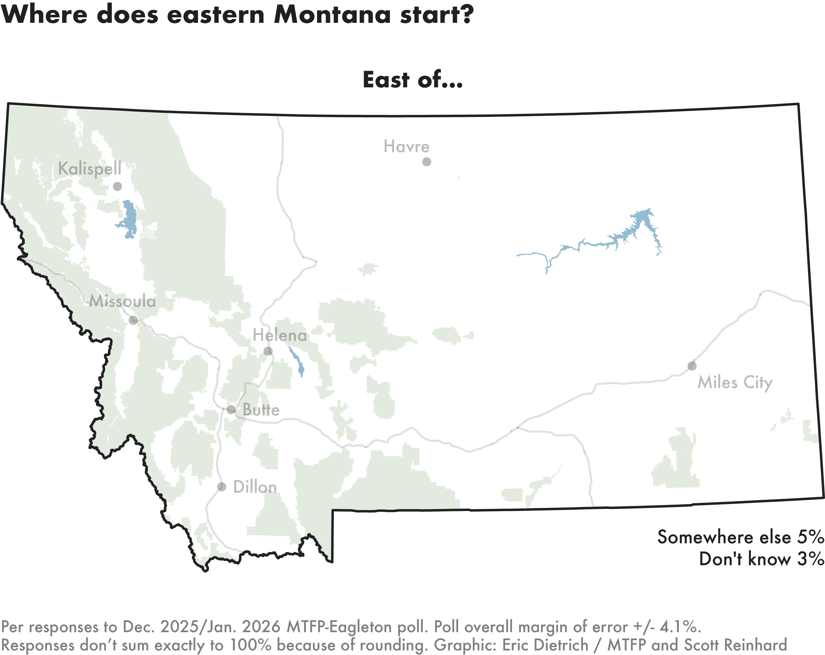
None of the options we presented as eastern Montana’s official starting point — ranging from the Continental Divide to the city of Billings — garnered approval from more than a third of respondents. Billings was the closest, at 31%.
Next up was the Continental Divide, which snakes along mountain ranges from just south of the state’s western “nose,” before passing east of Butte, west of Helena and northward through Glacier National Park. That’s Montana’s portion, of course, of the hemispheric Continental Divide, which extends from the Cape Prince of Wales in Alaska to the Strait of Magellan in Chile.
Nearly a fifth of Montanans, 18%, named the Divide the best dividing line on our list. That would place the state capital of Helena, in eastern Montana alongside Dillon and Havre.
Other respondents split among points between the Divide and Billings: Bozeman, Great Falls, Livingston and Lewistown. None of those options garnered more than 12% support.
A few others cheekily declined to pick one of the options on our list, offering their own descriptions instead.
One respondent said eastern Montana is “the mostly flat part.” A few others cited the Rocky Mountain Front, where the mountains meet plains — most prominently to the west of Great Falls.
Others named extremes: The North Dakota state line in one case (i.e., Montana’s eastern border). Lincoln County in another.
For the record: Lincoln County, where Libby is the county seat, is nestled up against Idaho in Montana’s Northwest corner — a definition that would put Kalispell and Missoula in eastern Montana.
Think you can do better with an Eastern Montana definition? We’d love to hear how you’d draw the line and why. Assuming we get enough insightful — or at least creative — responses, we’ll mention the best ones in Friday’s edition of our Lowdown newsletter. Email your submissions to [email protected].
OTHER POLL STORIES
75% of voters want Montana to have at least as much federal land as it does now
Federal land transfer has been a party of the GOP party platform at both the state and national level, but a recent MTFP-Eagleton poll indicates that a majority of Republican voters oppose reducing the amount of land in federal ownership.
Montanans want more solar, natural gas development, are less interested in new coal plants
The poll results on Montana’s energy mix come as politicians and policymakers grapple with surging electricity demand spurred by investment in artificial intelligence and the data centers that support it.
Poll week: How Montanans feel about sales tax, immigration and state officials
We polled Montana voters on an array of issues. Results will roll out the week of March 2.